
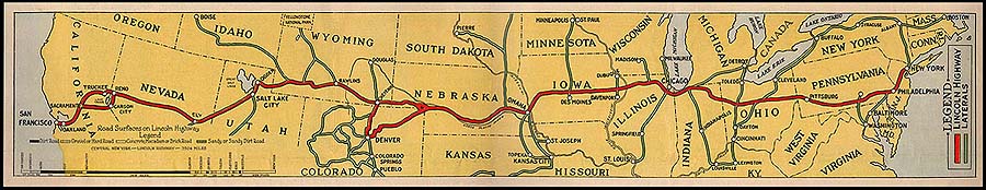
Before 1926, highways existed conceptually as independently-named auto trails, created and partially maintained by private organizations and routed along existing roads. Auto trail organizations produced signage and maps exclusively featuring their auto trail and the towns subscribing to their organization’s membership. At the dawn of the 1920’s, dozens of such named routes crossed America. Road maps at the time typically featured only a single route between two points and excluded other auto trails, as individual highway associations competed with one another. Dedicated in 1913, the Lincoln Highway was the first of these named auto trails to span from coast to coast. Predating the Numbered Highway System by more than a decade, 450 miles of the Lincoln Highway are shared in common with today’s Highway 50, from Ely, Nevada to Sacramento, California.
In 1917, John Brink, Rand McNally’s chief cartographer, somewhat accidentally invented numbered highways in an effort to construct maps featuring every named national trail in a given region. On maps of urban areas where multiple auto trails concentrated along the same route, Brink used numbers and a legend in order to save space. The numbered road idea quickly took hold with governmental highway planners, much to the chagrin of auto trail associations. With the creation of the United States Numbered Highway System in 1926, a numerical grid of urban expediency was now branded across the far reaches of rural America.
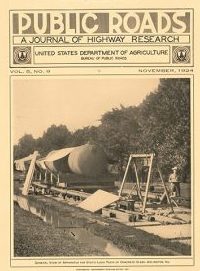
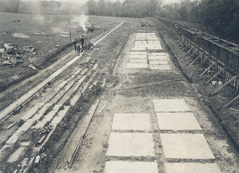
The Public Roads Bureau took a highly scientific approach to the issue of paving the national highways. The United States Department of Agriculture’s Experimental Farm in Arlington (along the road that later became Highway 50) undertook painstaking scientific tests on potential paving methods, exploring materials, subgrades, drainage, curing methods and bridge designs from 1918 through the 1920’s. Although the Federal Government has developed paving technologies and standards, its major contribution to the National Highway System has been through helping finance highway construction and maintenance performed by the states. Individual states each managed the overwhelming majority of highway construction and maintenance, the only true “federal highways” being those built by the federal government on federally-managed land such as National Parks. Although the federal government acted as a prime initiator in establishing Highway 50 along with the rest of the U.S. Numbered Highways, the seed of the cultural network that grew into the highway system took root generations before, and continued to evolve long after 1926.
Need to set up a website in a hurry? You can support the Digital Museum by patronizing our sponsors!
