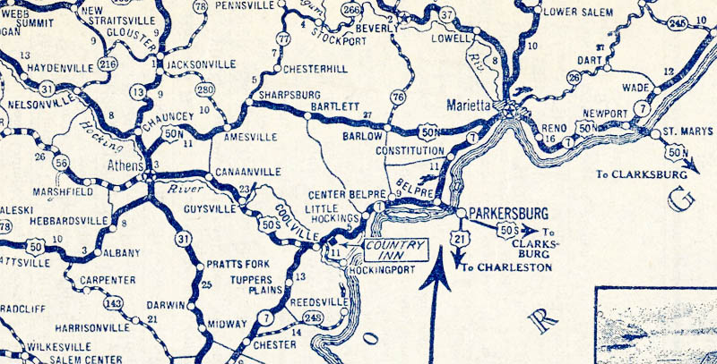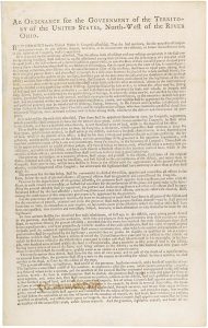
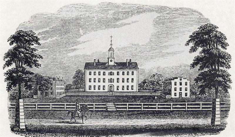
As Highway 50 descends from the Appalachians into the Ohio River Valley, its course straightens to interconnect a series of small historic cities on its course to Cincinnati. The highway’s routing through Ohio was most influenced by the Land Ordinance of 1785 and the Northwest Ordinance of 1787, the former setting aside one section of each township in the Northwest Territory (roughly today’s Great Lakes states) for the support of public schools. The latter advanced establishment of public education as a political mandate in the Northwest Territory. Ohio, the first such state carved from the new territory, began work on Ohio University along a far reach of the Hocking River in the late 1700’s. The university’s location was selected for its placement halfway between Chillicothe, the territorial and future temporary state capital, and Marietta, the territory’s first permanent settlement. Shortly after the founding of the university, the village of Athens grew around it, eventually forming a small city in the midst of the rural western Appalachian foothills.
The American settlement pattern of the territory in this era largely confined itself to navigable rivers, whereby trade was centered in distant New Orleans. Native pathways and game trails comprised almost all overland travel routes at the time of the university’s 1804 founding. Highway 50’s route followed the tracks of the Marietta and Ohio Railroad, a direct link between the three towns of Marietta, Athens, and Chillicothe. The leg of U.S. 50 between Athens and Marietta was originally a split route, 50N, whose counterpart 50S connecting Athens to Parkersburg, West Virginia ultimately won the unified U.S. 50 designation. A historical echo of a nineteenth century railroad controversy initially split the route, whereas the Marietta and Ohio Railroad had been originally chartered as the Belpre Ohio Railroad and re-routed following the machinations of the Marietta business community. The State of Ohio decommissioned 50N in 1976, and rechristened the road as Ohio State Route 550, a locally-popular scenic alternative to this day. Most of the remainder of 50’s route across Ohio was solidified during the New Deal, when the Civilian Conservation Corps improved much of its road between Athens and Cincinnati, including Cincinnati’s Columbia Parkway.