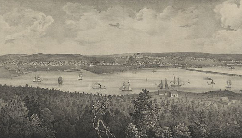
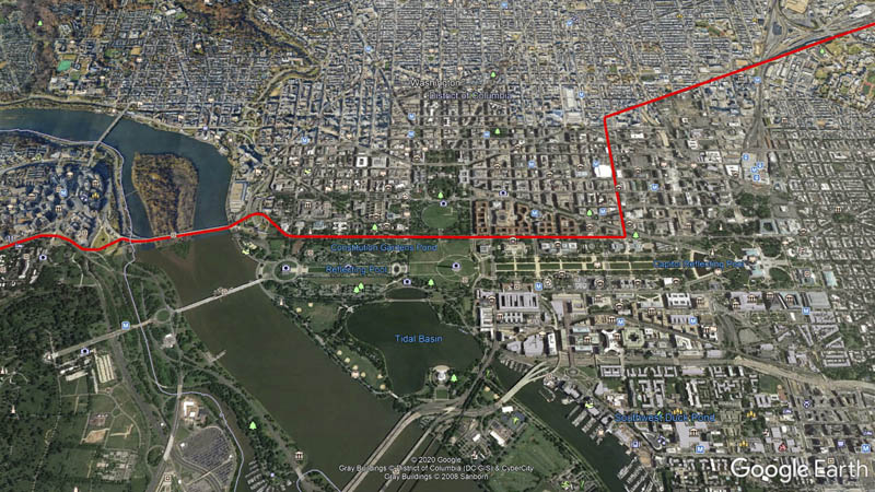
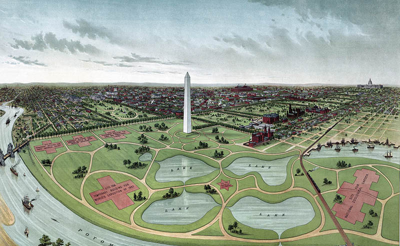
In nearby Washington, D.C. proper, Highway 50, along with its longitudinal counterpart Highway 1, share the honor of lining the National Mall between the United States Capital and Lincoln Memorial. Highway 50’s present routing through the heart of the federal district follows the main thoroughfare of Constitution Avenue, passing icons such as the Smithsonian Institute, the Washington Monument, the White House, the World War II memorial, the Vietnam Veteran’s Memorial, and the Lincoln Memorial, before departing over the Theodore Roosevelt Bridge into Arlington Virginia. Before the turn of the 1890’s, Constitution Avenue’s course was the Washington Canal, a diversion of Tiber Creek, and the land now occupied by some of the United States’ most hallowed monuments was all beneath the Potomac River.
A slow land fill process created this area, pushing south and westward from the footing of the Washington Monument beginning around the middle of the 19th Century. The process largely completed in anticipation of the 1892 Worlds Fair on the grounds, which ultimately was never held. The area underwent major changes over the subsequent decades, featuring botanical greenhouses, groves of elm trees, and massive rows of military office buildings during the World Wars, before ultimately landing as a permanent memorial park. It is historical irony that the area hearkening to America’s most entrenched traditions has been a place of near perpetual evolution, continuing to this day.
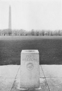
The Zero Milestone, a granite marker laid by the Good Roads Movement in 1923 to commemorate the launch of the first cross-county automotive military convoy four years earlier, rests along Highway 50’s course near the center of the Ellipse, the large lawn in front of the White House, just a block north of Highway 50. Although the milestone’s construction sparked a brief fad of other cities across the country founding their own milestones in the style of ancient Rome, it never came to serious use as a gauge for highway distances and today remains a curiosity occasionally targeted by the National Park Service for removal.